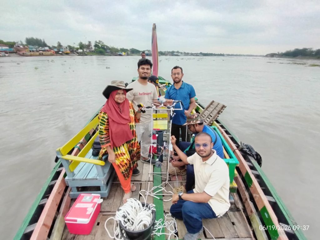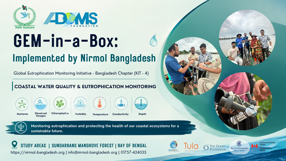
A GEM-in-a-Box Field Expedition by Nirmol Bangladesh in collaboration with ADAMS Foundation, Khulna and international collaborators
The Sundarbans is one of the world’s most important mangrove ecosystems and a vital ecological, economic, and climate-resilient landscape of Bangladesh. Its rivers, channels, creeks, and coastal waters support an extraordinary diversity of aquatic life while sustaining the livelihoods of thousands of people living in and around the region.
But how healthy are these waters? How do water-quality conditions vary from the surface to deeper layers? And what happens to nutrients, dissolved oxygen, chlorophyll, suspended materials, and other important water-quality parameters across different parts of the Sundarbans?
To answer these questions through field-based scientific observations, a team of five researchers from Nirmol Bangladesh has embarked on a five-day scientific expedition to the Sundarbans under the GEM-in-a-Box (Global Eutrophication Monitoring) project, in collaboration with ADAMS Foundation, Khulna, and other international collaborators.
This expedition represents an important step toward generating standardized, field-based water-quality data from one of Bangladesh’s most ecologically significant environments.
Three Geographical Areas, One Scientific Mission
During the five-day expedition, the research team will conduct monitoring and data collection across three major geographical areas:
- Mongla
The Mongla area represents an important interface between riverine systems, human activities, navigation, and the coastal environment. Monitoring in this area will help establish a baseline understanding of water-quality conditions within and around the river systems. - Joymoni
Joymoni provides another important location for observing the interaction between freshwater influence, tidal processes, and the broader estuarine environment. Data collected here will help researchers examine spatial variations in water-quality conditions. - Shoronkhola
The Shoronkhola area represents the eastern part of the expedition’s monitoring coverage and provides an opportunity to investigate water-quality conditions farther along the Sundarbans coastal and estuarine system.
Together, these three areas will provide a geographically diverse dataset for understanding variations in water quality across different environmental settings.
Going Beyond Surface Water
One of the most important features of this expedition is that the researchers will not rely only on surface-water measurements.
Water quality can change considerably with depth. Temperature, salinity, dissolved oxygen, nutrients, and other parameters may show significant differences between surface and deeper layers.
To capture these variations, the team will conduct vertical water-quality profiling using a CTD (Conductivity, Temperature, and Depth) instrument. The CTD will allow researchers to observe how key physical properties of the water column change with depth.
The team will also collect water samples from different depths using a Niskin water sampler. This specialized sampler allows researchers to collect water from a predetermined depth without relying solely on surface samples.
These depth-specific samples will provide valuable information about the vertical structure and condition of the water column and will support subsequent water-quality analysis.
A Laboratory in the Field
One of the defining characteristics of the GEM-in-a-Box approach is bringing scientific monitoring capabilities closer to the field.
Instead of collecting all samples and transporting them back to a distant laboratory for analysis, the research team will conduct a range of measurements on-site during the expedition using sophisticated yet portable scientific instruments.
The field laboratory will include instruments such as:
- Spectrophotometer – for analysis of important water-quality parameters, particularly nutrients.
- MiniDOT – for measuring dissolved oxygen and temperature.
- GPS – for accurately recording the geographical coordinates of monitoring stations.
- TDS meter – for measuring total dissolved solids.
- Digital multimeter and other field instruments – for measuring and supporting analysis of various physicochemical parameters.
Using these instruments, the researchers will analyze a range of nutrient, chlorophyll, TDS, TSS, and physicochemical parameters directly in the field.
This approach can significantly reduce delays between sample collection and analysis while enabling researchers to observe and document environmental conditions in real time.
From Instruments to Information
Every instrument deployed during the expedition serves a specific purpose, but the ultimate objective is larger than simply obtaining measurements.
Each water sample, CTD profile, GPS coordinate, and field observation contributes to a growing scientific dataset describing the condition of the Sundarbans’ aquatic environment.
The collected observations will help researchers investigate:
- Spatial variation in water quality across the three monitoring areas;
- Vertical variation of water-quality conditions with depth;
- Nutrient concentrations and their distribution;
- Chlorophyll and indicators of biological productivity;
- Dissolved oxygen conditions;
- Temperature and conductivity-related characteristics;
- Total dissolved and suspended solids;
- Other important physicochemical characteristics of the aquatic environment.
By combining these measurements, researchers can develop a more comprehensive picture of the environmental condition of the monitored waterways.
Why This Expedition Matters
The Sundarbans is not simply a forest. It is a dynamic land–river–estuary–ocean system, where freshwater flow, tides, sediment transport, biological processes, human activities, and climate-related changes interact continuously.
Understanding this complex system requires repeated, reliable, and standardized environmental observations.
However, long-term and high-quality coastal water-quality datasets remain limited in many parts of the world, including Bangladesh. Field initiatives such as GEM-in-a-Box can help address this gap by empowering local researchers with appropriate instruments, methodologies, and scientific capacity.
The data generated through this expedition will therefore have value beyond the five-day field campaign. It can contribute to establishing baseline information, identifying environmental changes, supporting future research, and strengthening evidence-based conservation and management of coastal and mangrove ecosystems.
Science in the Heart of the Mangrove
Conducting scientific research in the Sundarbans is very different from working in a conventional laboratory.
Researchers must work around tides, weather, currents, navigation conditions, remote locations, and the logistical challenges of transporting sensitive scientific equipment through waterways.
Every station requires careful planning. Every sample must be collected correctly. Every instrument needs to be properly handled, calibrated, and documented.
Behind every number in the final dataset will therefore be a field story—a boat journey, a sampling station, a depth measurement, a water sample, an instrument reading, and a researcher carefully documenting the observation.
A Step Toward Stronger Ocean and Coastal Science in Bangladesh
The five-day GEM-in-a-Box expedition to Mongla, Joymoni, and Shoronkhola is more than a routine water-quality survey. It is part of a broader effort to strengthen field-based coastal and oceanographic research capacity in Bangladesh.
Through collaboration among Nirmol Bangladesh, ADAMS Foundation, Khulna, and international partners, the expedition brings together researchers, scientific instruments, standardized methodologies, and international scientific collaboration.
As the five-member research team moves through the waterways of the Sundarbans, they are not simply collecting water.
They are collecting evidence.
Evidence that can help us understand how these waters are changing, how healthy the aquatic environment is, and how science can support the long-term protection of one of Bangladesh’s most precious natural ecosystems.
The journey has begun—from Dhaka to the Sundarbans, from the surface to the depths, and from individual measurements toward a better understanding of our coastal waters.